Everything You Need To Know About The Winter Weather This Weekend
Get ready for a sudden drop in temperature after midnight. The worst should happen between 3am and 6am.
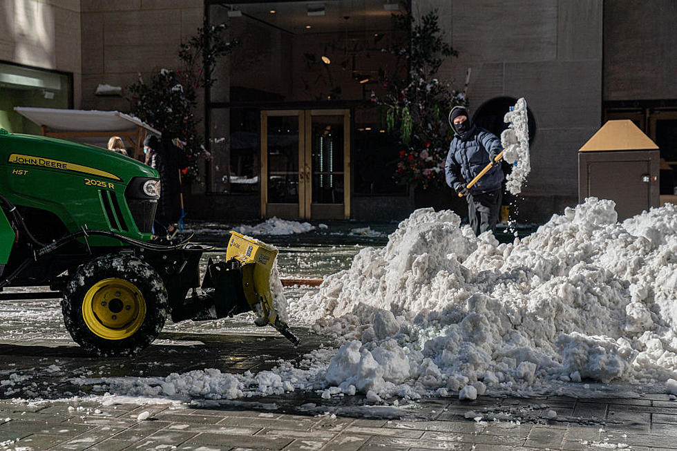
It will be a very cold weekend with the possibility of rain changing to snow.
That's right. Snow.
Don't panic. This will not be the BLIZZARD OF '93!
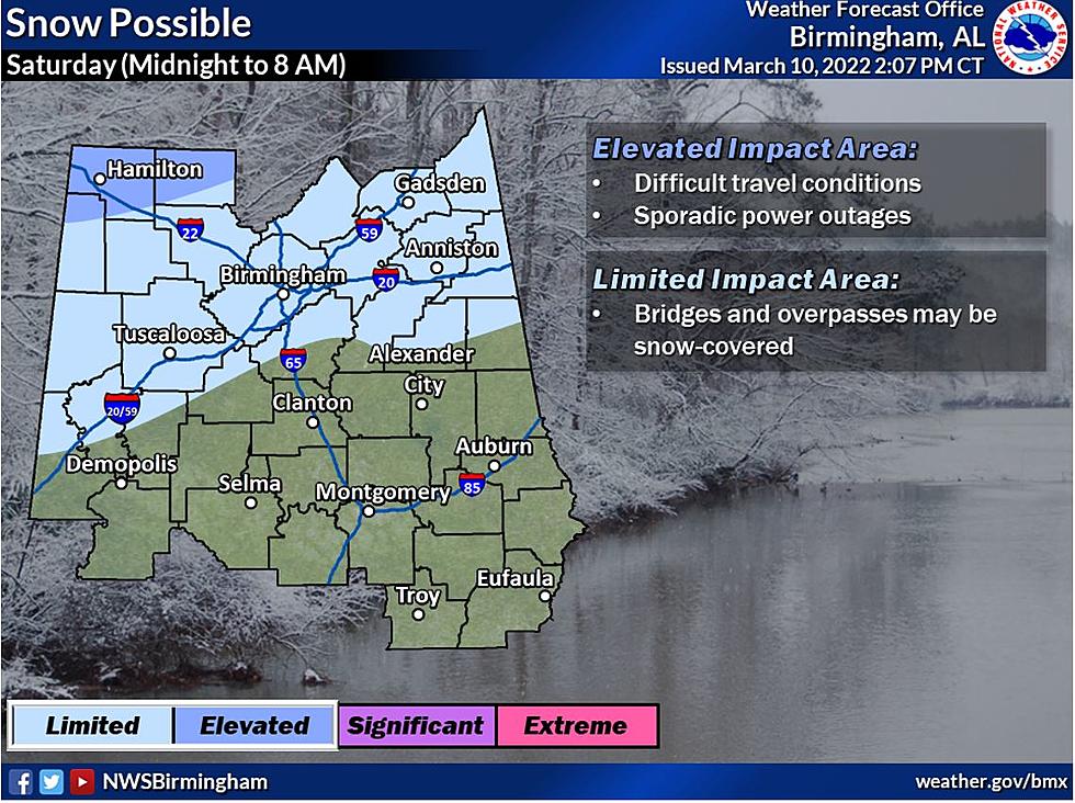
However, be careful if on the road as bridges and overpasses may be snow-covered.
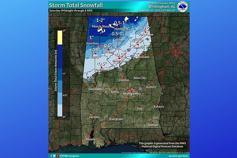
We shouldn't get more than half an inch to an inch.
According to the National Weather Service in Birmingham, here's the list of warnings/advisories for portions of Central Alabama
*A WIND ADVISORY
IN EFFECT FROM MIDNIGHT TO 6PM SATURDAY
*FREEZE WARNING:
IN EFFECT FROM MIDNIGHT TONIGHT TO 10AM SUNDAY
*WINTER WEATHER ADVISORY:
MIDNIGHT TONIGHT TO 9AM SATURDAY
Here's more information about the weekend weather for Alabama from the National Weather Service:
Where:
- Severe: Southeastern half of Central Alabama
- Snow: Northern two-thirds of Central Alabama
- Wind: All of Central Alabama
- Freezing temperatures: All of Central Alabama
When:
- Severe: 7 pm Friday to 3 am Saturday, highest impacts near and southeast of the Interstate 85 corridor
- Snow: Around midnight to 9 am Saturday, highest impacts near and north of the Interstate 20 corridor
- Wind: Late tonight through Saturday afternoon
- Freezing temperatures: Saturday morning, Saturday evening to Sunday morning (significant), and Monday morning
Threats:
- Severe: Damaging winds up to 60 mph and a tornado is possible
- Snow: Hazardous road conditions; accumulations near 2" in the northwest
- Wind: Potential for downed trees and power outages; sustained winds 15-20 mph with gusts to around 40 mph
- Freezing temperatures: Impacts to cold-sensitive vegetation that has recently budded as well as vulnerable populations; the most significant instance of cold will be Saturday night into Sunday morning with lows in the lower 20s widespread with areas of upper 10s
Here's James Spann with Steve & DC on 95.3 The Bear!
10 Commandments of Living in Tuscaloosa, Alabama
Downright Unbelievable Quirky Alabama Town Names
6 Things Southerners Say Differently Than Anyone Else
More From Praise 93.3