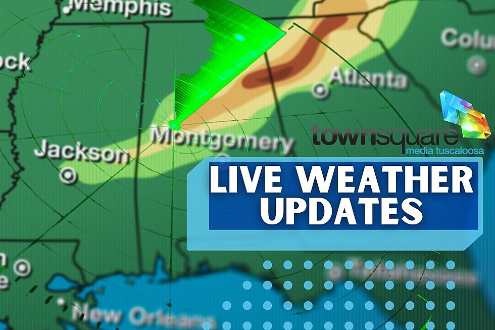
Heightened Severe Weather Potential for Central, West Alabama Tuesday
We are focused on a widespread storm that could trigger a severe weather outbreak across the Southern region that begins on Monday and runs through Wednesday. For the Townsquare Media Tuscaloosa coverage areas at this time our window of concern is Tuesday afternoon into the late evening.

Don’t forget we are in the middle of our tornado season. Now is a great time to review your safety plan of action. Here are some tips:
Be sure you know your safe place at home, work, on the road, etc.
Be aware of your closest community shelter.
If you live in a mobile home, know now where you are going.
Have a Battery-operated radio.
Be sure your phones and computers are completely charged.
Since this weather event extends into the evening, be sure your phone is not silenced at night.
Since we are a few days ahead of this system, please be sure to check back often for future updates about this severe weather threat. When weather conditions and situations change it could create a shift for our coverage areas.
National Weather Service in Birmingham Highlights
Where:
All of Central Alabama
When:
1 PM Tuesday afternoon through 4 AM Wednesday morning
Threats:
Tornadoes
Damaging wind gusts
Large Hail
Locally heavy rainfall -> isolated flooding
Non-thunderstorm wind gusts of 30-40 mph

Currently, portions of our coverage area are split between the ‘Enhanced Risk’ and ‘Slight Risk Area’ so we are closely monitoring this weather scenario. James Spann, ABC 33/40, and Townsquare Media Tuscaloosa Chief Meteorologist has broken down the guidance from the Storm Prediction Center.
“The SPC has defined an "enhanced risk" (level 3/5) of severe thunderstorms for parts of West and Southwest Alabama... west of a line from Tuscaloosa to Mobile.”
“A "slight risk" (level 2/5) extends as far east as Fayette, Clanton, and Enterprise, and a "marginal risk" (level 1/5) to Athens, Anniston, and Dothan.”
Timing for our Coverage Areas
The current thought process on the timing of the storm system for our coverage areas will be from Tuesday 1 pm until 10 pm.
Insight on Threats
Spann said that “all modes of severe thunderstorms will be possible, including large hail, damaging winds, and tornadoes... mainly in the enhanced and slight risk areas. A few strong tornadoes (EF-2 or higher) are possible in West Alabama in the "enhanced risk" area in the broad zone from Tuscaloosa to Mobile.”
Also, winds not related to thunderstorms will be a concern as well. “Gradient will increase during the day Tuesday, with gusts in the 30/40 mph range likely by afternoon,” said Spann.
Rain Amounts
“Rain amounts will be in the 1-3 inch range across Alabama Tuesday and Tuesday night; some flooding issues are possible with the heavier storms that move through,” said Spann.
(Source) Click here to follow the Facebook Page for James Spann. For more from the National Weather Service Birmingham, click here.
LOOK: Here is the richest town in each state
KEEP READING: See the richest person in every state
LOOK: Famous Historic Homes in Every State
See the Must-Drive Roads in Every State
More From Praise 93.3